CAMP Tour Prague Walker II
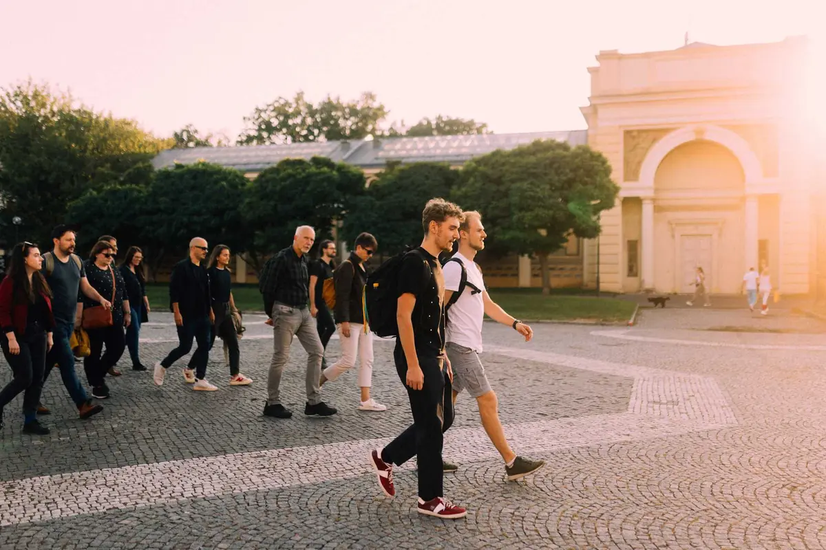
How do you navigate a city overwhelmed with information and advertising? This guided walk introduces Prague's wayfinding system Readable Prague (Čitelná Praha), which unifies navigation and makes movement easier for pedestrians, public transport users, and cyclists. Along the route from Letná Park to the Exhibition Grounds, we'll examine the distinctive obelisks with orange stripes and the Prague Walker pictogram, and learn how they work and contribute to better orientation in public space. The walk is led by Rostislav Zapletal from the Prague Institute of Planning and Development's Public Space Office, who will also discuss the broader context of the city's transformation - including reducing visual clutter and standardizing information systems.
Meeting point: by the Letná gardens. The walk will last approximately 1.5 hours and takes place mostly outdoors.
By attending CAMP events, you agree to the publication of photographs and video recordings.
Meeting point: https://maps.app.goo.gl/HnmATG5kGiHFFf1Z8
Lectures · Prague 298 in the next 30 days →
 59lectureWed 7.10.The Music Digest
 55lectureSat 10.10.This Book Is___
 55lectureSun 11.10.Designers for Children: Light Laboratory
 55lectureTue 13.10.A+U: Dawless - Creating Electronic Music Without a PC
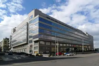 55lectureThu 15.10.Seized, Stored, Returned: Remedying Nazi Confiscations in the NGP Collections
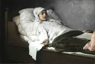 52lectureWed 7.10.Through the Curators' Eyes: NGP 230 Years
 100concertMon 14.12.Bryan Adams at Prague
 100concertSat 6.2.Editors (UK)
 100concertThu 21.1.Manowar Kings of Metal (Prague)
 96stand-upWed 24.2.Jimmy Carr: Laughs Funny
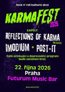 95festivalThu 22.10.KarmaFest Mini Praha 2026
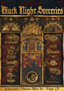 95festivalFri 19.3.Black Night Sorceries MMXXVII